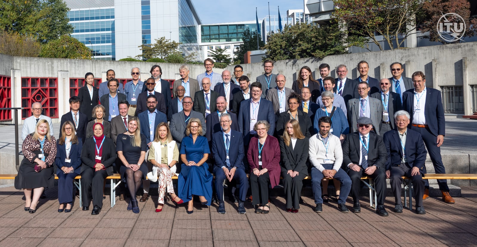
As of 2026-09-28 17:34 UTC, the World Meteorological Organization and International Telecommunication Union have released a joint handbook urging governments to protect the radio frequencies used for weather observation. Launched at their September 28–30 seminar in Geneva, the publication connects a seemingly specialist question—who may use which frequencies—to the reliability of forecasts and early warnings.[1]
The difficulty is that a weather satellite cannot always solve interference by listening somewhere else. Some of the signals it needs come from the physical behaviour of the atmosphere itself. Understanding that constraint explains why a discussion among spectrum regulators belongs on the weather page.[4]
What changed today?
Three dated records establish the starting point:
- September 28, 2026 — WMO: the handbook has been formally released, with guidance on protecting observation systems and the communications carrying their data. This confirms a publication and institutional appeal; it supplies no new estimate of forecast losses.[1]
- September 21, 2026 — ITU: the seminar agenda includes interference, commercial environmental data and preparations for the World Radiocommunication Conferences in 2027 and 2031. These are subjects for coordination, not announced outcomes.[2]
- October 2024 — ECMWF: a technical study tested interference detection against satellite measurements from two one-month periods in 2022. It provides observational evidence with a defined scope, rather than a worldwide assessment of conditions today.[5]
The immediate news is therefore a shared technical reference and a meeting where meteorologists and spectrum managers can compare requirements. Any claim that today's launch itself changes a country's operating rules would need a separate regulatory record.
What is the satellite listening to?
A passive microwave instrument measures faint radiation naturally emitted by the atmosphere and Earth's surface. It does not illuminate the scene with a transmitted pulse in the way a radar does. Scientists use the measured radiation to infer atmospheric conditions, which help establish the starting state for a numerical forecast.[3]
The choice of frequency is part of the measurement. An ECMWF workshop report explains that observations near 24 GHz are particularly sensitive to the amount of water vapour through an atmospheric column, while those near 31 GHz help identify liquid water in clouds. Neither channel measures just one thing. Reading them together helps disentangle their overlapping sensitivities.[4]
That makes the instrument closer to a set of complementary measurements than a radio with interchangeable stations. Move to a different frequency and the relationship between the signal and the atmosphere changes. The same report explains that important absorption features arise from molecular properties: engineering can improve the instrument, but it cannot relocate the molecules' spectral behaviour.[4]
This is why losing one channel can make other channels less useful. The cost is not necessarily confined to the missing stream of numbers.
How can a neighbouring service interfere?
A frequency allocation draws a boundary on paper. Equipment also needs to keep unwanted emissions sufficiently low beyond that boundary.
In its 2019 explanation of the issue, ECMWF used the example of communications operating at 24.25–27.5 GHz, adjacent to passive observations at 23.6–24.0 GHz. The concern was unwanted energy spilling into the observing band. Protecting the measurement therefore requires attention to emissions from neighbouring services as well as to users inside the band.[3]
This is a technical coexistence problem. The relevant questions include which instrument is affected, how much unwanted energy reaches it, and under what operating conditions. A label such as “5G interference” is too broad to answer those questions on its own.
Spectrum also matters after a measurement has been taken. ITU distinguishes the frequencies used to observe the environment from the communications needed to move the resulting information. Its September briefing describes an increasingly varied system of public missions, commercial satellite observations and cloud processing. Each can add capability; none makes the original measurement expendable.[2]
Does this mean forecasts are already getting worse?
The evidence supports a narrower answer than that headline would suggest.
David Duncan and Niels Bormann's 2024 ECMWF report examined AMSR2 and AMSU-A observations between 6.9 and 89 GHz. It found significant interference at several lower frequencies, including 6.925, 7.3 and 10.65 GHz, and identified interference at 18.7 GHz, particularly around the US coast. Some signals reached the instruments after reflecting off the sea.[5]
But the researchers did not corroborate interference at 23.8 GHz or above in their studied periods. Their comparison also excluded difficult scenes where modelling was less reliable. That result neither demonstrates a current global forecast decline nor guarantees that those higher frequencies will remain clean. It is bounded evidence from particular instruments, methods and months.[5]
The practical distinction is between preventing damage and documenting damage that has occurred. Today's announcement makes the case for protection. A claim about lost warning time would additionally need evidence connecting contaminated observations to a measured forecast effect.
What would count as progress?
The following scenarios are an interpretation of the evidence, not predictions from the agencies.
Base case: the handbook becomes a common reference for meteorologists and regulators. The confirming signal would be its use in published national submissions or technical studies, without an immediate change visible in everyday forecasts.
Upside: consultation produces protection that can be checked in practice. Look for published compatibility studies, measurable operating conditions and monitoring that tests whether those conditions work.
Downside: decisions proceed without adequately characterising interference. The warning signal would be corroborated contamination accompanied by the rejection or reduced usefulness of observations—not simply a more crowded seminar agenda.
For weather-service managers, spectrum officials and readers following the negotiations, three checks keep the story grounded:
- Next 24 hours: distinguish the handbook launch from any separately published regulatory decision. A binding decision would change the assessment of what happened today.
- Next seven days: look for seminar materials that identify specific bands, instruments and unresolved studies. If only broad statements appear, claims of a technical breakthrough remain premature.
- Next 30 days: track national follow-up and evidence feeding preparations for WRC-27. Revise the outlook if new measurements demonstrate damage, successful mitigation or gaps in the proposed protections.[2]
The useful test is whether observations remain trustworthy. A new handbook can help people agree on how to protect them; the subsequent engineering and decisions must show whether that protection holds.
Sources
- World Meteorological Organization and International Telecommunication Union, “ITU and WMO call to protect radio spectrum for weather, climate and water services,” September 28, 2026 — handbook release, seminar dates and event photograph credited to ITU/D. Woldu.
- International Telecommunication Union, “Protecting spectrum for weather, climate and early warnings,” September 21, 2026 — observation and communications uses, changing infrastructure and conference preparations.
- Stephen English, ECMWF, “Why we need to protect weather prediction from radio frequency interference,” August 15, 2019 — passive sensing and interference from neighbouring frequency bands.
- ECMWF, “Radio-Frequency Interference Workshop: Final Report,” workshop held September 13–14, 2018, section 2 — physical constraints on sensing frequencies and the complementary value of microwave channels.
- David Duncan and Niels Bormann, ECMWF, “Assessing RFI flags at passive microwave bands with an NWP model,” October 2024 — findings and limitations from two one-month periods of 2022 observations.