PostGIS becomes interesting at the moment "we have latitude and longitude" stops being enough. A table with two numeric columns can draw points on a map, but it cannot by itself express the harder questions teams eventually ask: which parcels intersect this district, which assets are within 500 meters of this line, which delivery zones changed after a boundary update, and which distance calculation is correct for the coordinate system in use. PostGIS matters because it moves those questions into PostgreSQL as typed data, indexed predicates, and ordinary SQL joins rather than leaving them as one-off application loops.[1][2]
The architectural claim is narrow: PostGIS is strongest when spatial relationships are part of the product's query model, not just a visualization layer. Its value comes from three boundaries that teams have to respect. First, choose geometry or geography based on how the world is being modeled. Second, keep spatial reference systems explicit enough that distance, area, and transformation do not become silent bugs. Third, use index-aware spatial predicates so the database can reduce the candidate set before doing exact geometric work.[1][2][3]
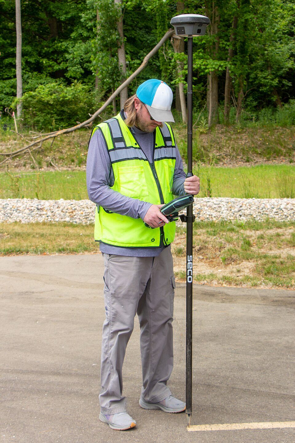
Image context: the cover uses a real GNSS field-survey photograph, not a diagram, chart, map screenshot, or abstract spatial graphic. That choice fits the article because PostGIS work starts with observed places and measured positions, then becomes useful only after the team decides how those places should be represented, indexed, transformed, and queried inside a database.[6]
The first boundary is type choice
PostGIS implements the OGC geometry model through PostgreSQL data types named geometry and geography.[1] That pair is not a cosmetic API distinction. It is the first design decision in the system. geometry treats coordinates in a planar spatial reference system. It is usually the practical default for city, state, metro, engineering, cadastral, and regional work where a suitable projection can make distance and area calculations fast and legible. geography treats coordinates on the earth more directly, with longitude/latitude convenience and global behavior across difficult edges such as the dateline and poles.[1][5]
The trap is choosing geography because it sounds more realistic. Crunchy Data's explanation of the type tradeoff is useful: geography simplifies global longitude/latitude reasoning, but many PostGIS functions are built around planar geometry, and spherical calculations can be more expensive on large queries.[5] For a team building a city operations app, a transit analysis workflow, or a regional asset inventory, projected geometry often produces simpler SQL and faster queries. For a worldwide proximity service where points can sit across hemispheres, geography may be the cleaner mental model.[5]
This is the first reason PostGIS belongs in architecture discussions rather than in "map feature" tickets. The type column is not merely storage. It sets the unit system, function surface, index behavior, and the cost profile of common questions. If that choice is made casually during a prototype, the project can inherit years of awkward casts, wrong-distance bugs, or queries that only work because the dataset is still small.
SRIDs are operational metadata, not decoration
The second boundary is the spatial reference system. PostGIS does not just store shapes; it stores shapes in a coordinate context. The ST_Transform documentation is blunt about a common confusion: ST_Transform changes coordinates from one spatial reference system to another, while ST_SetSRID only changes the identifier attached to the geometry.[3] Mixing those up is the spatial equivalent of relabeling a currency column without converting the numbers.
That distinction shows up in normal product work. Suppose one table arrives from a web map in WGS 84 longitude/latitude, another arrives from a local planning authority in a projected coordinate system, and a third has already been simplified for display. If the application compares them without a deliberate ST_Transform, the query may appear syntactically valid while answering the wrong physical question. PostGIS gives the team the primitives to fix this, but it does not remove the obligation to know which coordinate system each boundary represents.[3]
There is also a performance angle. The ST_Transform docs note that repeated transformations can benefit from a functional GiST index on the transformed expression.[3] That is the kind of detail that separates a demo query from production design. If every user request transforms a million stored geometries on the fly, the database is being asked to do cartographic cleanup at request time. If the common transformed shape is indexed, the spatial model has become part of the database contract rather than an accident of application code.
GiST makes space searchable by approximation first
The third boundary is indexing. PostGIS's own data-management chapter explains why ordinary B-tree thinking does not fit spatial data: geometry has multiple dimensions, so the database needs index methods that can support range queries across those dimensions.[1] In the usual PostGIS path, a spatial index on a geometry column is built with USING GIST, and PostGIS uses an R-tree index implemented on top of PostgreSQL's GiST infrastructure.[1][2]
GiST is important because it is not just "the spatial index." PostgreSQL describes GiST as a generalized balanced search-tree framework for indexing schemes such as B-trees, R-trees, and other domain-specific strategies.[4] PostGIS plugs spatial behavior into that extensible index method. The result is a database-native way to make irregular shapes searchable without forcing every application developer to build their own spatial candidate filter.
The practical mechanics are approximate-first. Spatial indexes store bounding boxes, not the full exact geometry.[1][2] A query can use the index to find candidates whose boxes overlap or fall within an expanded extent, then run the exact predicate on the smaller result set.[2] The PostGIS workshop gives the intuition cleanly: the first pass asks which boxes might match; the second pass asks which geometries actually match.[2]
That two-pass design should shape how teams write SQL. ST_Intersects, ST_Contains, ST_Within, and ST_DWithin are not interchangeable decoration around a map. They are index-aware predicates that let PostgreSQL reduce the candidate set before exact calculation.[2] By contrast, a raw ST_Distance(...) < 100 filter can force distance computation across every row unless it is paired with an index-aware prefilter.[2] The reliable radius-query habit is therefore not "calculate every distance and filter." It is usually ST_DWithin first, then exact ordering or measurement only for candidates that survive.[2]
Where PostGIS should own the work
PostGIS is a good fit when the product's spatial questions are relational questions. A city-boundary join, a service-area lookup, a nearest-facility query, a route-adjacent asset search, or a parcel-overlap rule all benefit from living near the data they filter. In those cases, pushing all geometries out to an application service for custom spatial loops usually creates more serialization, more duplicated logic, and less query-planner help than keeping the work in SQL.[2]
It is also a good fit when spatial rules need auditability. SQL gives teams reviewable predicates: ST_Intersects(boundary.geom, asset.geom), ST_DWithin(site.geom, hazard.geom, 500), ST_Transform(parcel.geom, 26986), and a named GiST index on the column or expression being queried.[2][3] Those are inspectable contracts. They can be tested, explained, migrated, and profiled. A hidden application helper that quietly transforms coordinates and loops through GeoJSON features is harder to reason about under incident pressure.
The boundary condition is just as important. PostGIS should not become a dumping ground for every geospatial task. Heavy raster processing, tile generation, map styling, routing engines, interactive editing workflows, and large offline analytics may still belong in specialized systems. The useful question is whether the spatial operation is part of online transactional or analytical filtering over PostgreSQL-held records. If yes, PostGIS is often the cleanest place to put the logic. If no, it may be better to use PostGIS as the authoritative spatial store and let a GIS, routing, or tile pipeline own the downstream workload.
The adoption test
A practical PostGIS rollout should start with four checks.
First, identify the dominant spatial questions before choosing types. "Show a point on a map" is not the same as "calculate distance across a continent" or "join parcels to zoning overlays." That distinction drives geometry versus geography, projection selection, and index design.[1][5]
Second, make SRID handling explicit in schema and migrations. If ST_SetSRID appears where ST_Transform is required, treat it as a correctness risk, not a style nit.[3]
Third, index the predicates the product actually uses. A GiST index on a stored geom column is the default starting point; functional indexes on common transformations are useful when the transformed expression is part of the normal query shape.[1][3]
Fourth, write queries so the index can help. Prefer index-aware predicates such as ST_Intersects and ST_DWithin in WHERE or JOIN clauses, then add exact measurement, ordering, or DE-9IM-style specificity only after the candidate set is small enough.[2]
That is the core architecture note. PostGIS is not merely PostgreSQL with a map plugin attached. It is a way to make space part of the database model: typed, projected, indexed, and query-planned. Teams that respect those boundaries can keep a surprising amount of location logic inside ordinary SQL. Teams that ignore them usually discover too late that the hardest part of geospatial software was never drawing the map. It was deciding what the map meant in data.
Sources
- PostGIS manual, "Data Management" - OGC geometry model,
geometry/geography, GiST, BRIN, SP-GiST, bounding-box indexes, and spatial-index syntax. - PostGIS manual, "Spatial Queries" - spatial predicates, index-aware functions,
ST_DWithinversusST_Distance, and bounding-box prefilter behavior. - PostGIS manual, "
ST_Transform" - coordinate transformation, SRID requirements,ST_SetSRIDdistinction, and functional-index guidance. - PostgreSQL documentation, "GiST Indexes" - Generalized Search Tree as a balanced, extensible index access method.
- Crunchy Data, "PostGIS and the Geography Type" - independent explanation of
geographybenefits, costs, and when projectedgeometryis simpler. - Wikimedia Commons, "File:Surveyor Using GNSS Receiver with RTK Solution.jpg" - source page for the real GNSS field-survey photograph used as this article's cover.