William Clark's 1814 map of the Lewis and Clark expedition is often treated as a route souvenir: a long line from the Mississippi toward the Pacific, proof that the Corps of Discovery got there and came back. Read as a primary source, it is sharper than that. The map made a geographical argument. It showed that the old dream of a simple water passage across North America had run into rivers that did not connect, mountains that widened instead of narrowing, and knowledge that had to be assembled from travel, diplomacy, Indigenous guidance, and post-expedition cartographic labor.[1][3][4]
The Library of Congress describes the map as the first printed map to give reasonably accurate geographic information for the trans-Mississippi West, published in 1814 with Nicholas Biddle's History of the Expedition.[1] That claim is easy to admire and easy to flatten. Accuracy was not just better drawing. It was a new public arrangement of evidence: where the Missouri actually bent, where the Columbia system began, where the Rocky Mountains refused to behave like a single convenient ridge, and where Native nations and villages had to be named because no travel through the region made sense without them.[1][3][5]
The close-reading question is therefore not simply "where did they go?" It is "what did the map make believable after the expedition returned?"
The Title Panel Shows A Chain Of Hands
The map's title says it was made "by order of the executive of the United States" for the expedition of 1804, 1805, and 1806.[2] That phrasing places the map inside federal purpose before a reader even follows the route. This is not a private travel sketch released by accident. It is presented as state-sponsored knowledge, created because Thomas Jefferson wanted geography, trade possibilities, natural history, and diplomatic intelligence made useful after the Louisiana Purchase.[5][6]
The credit line underneath the title complicates the heroic version. The National Park Service notes that Clark completed his detailed drawing in 1810, then Samuel Lewis, a Philadelphia mapmaker, copied and "cleaned up" the work before Samuel Harrison engraved it for publication in 1814.[2] The map is therefore not a transparent field notebook. It is a conversion: field observations and manuscript cartography turned into a printed object that could travel farther than the expedition itself.
That conversion matters historically. The Corps returned to St. Louis in September 1806, but publication lagged for years.[6] The University of Nebraska's introduction to the journals traces the delay through Lewis's death, Clark's custodianship of the journals, Nicholas Biddle's editorial work in 1810, and the eventual 1814 publication by Bradford and Inskeep.[5] The map sits at the end of that bottleneck. It is a late artifact of the journey, not an instant report.
The Route Line Is Evidence, Not Decoration
On the map, the expedition's track gives movement a documentary shape. National Archives teaching material emphasizes that Clark drew detailed maps that noted rivers, creeks, shorelines, significant landscape points, camps, and portages; later explorers used those maps to press farther into the West.[6] The printed route makes that field practice legible to people who had never dragged a boat upstream, crossed the Bitterroots, or wintered near the Columbia.
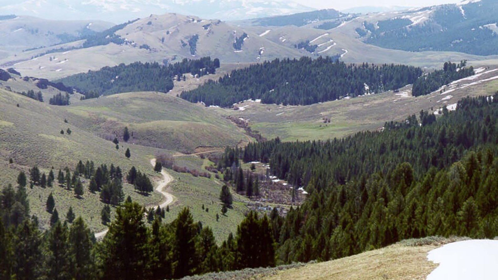
The strongest part of the map is its refusal to make the continent easy. Oregon History Project explains that early nineteenth-century observers often imagined the Missouri headwaters and Columbia headwaters as close neighbors, divided by a mild plateau or "pyramidal height-of-land." Clark's map helped break that assumption by showing a more difficult interior: rugged ranges, broken river systems, and western rivers that could not serve as a simple navigable highway to the Pacific.[3]
That is why the map should be read as an anti-fantasy document. It did not merely fill a blank. It corrected a wish. Jefferson's planners had hoped for a commercially useful water connection between the Mississippi-Missouri system and the Columbia, and the National Archives account states that this was one of the expedition's central hopes.[6] The map answered with a harsher geography. The West could be crossed, but not by the easy continental canal imagined from the East.
Native Knowledge Is Present And Partly Hidden
The map also records a dependence it does not fully explain. The University of Virginia Library's Lewis and Clark map exhibit states that Jefferson's planning drew on British, French, and American exploration records, that Lewis and Clark carried earlier geographical works, and that they made extensive use of Indian maps.[4] That last fact is essential to the map's authority. The Corps did not manufacture western geography from empty space. It moved through a populated world with existing routes, names, trade paths, river knowledge, and political boundaries.
The printed map bears traces of that world through Native nation names, village information, and landscape names. Yet the title frame still makes the map sound like federal discovery. That tension is not an error to smooth away. It is part of the source. The document preserves Native geographic knowledge while reorganizing it under U.S. authorship and publication. A reader can see the dependency and the appropriation at once.
This is where "accuracy" becomes morally complicated. A better map could help future travelers avoid mistakes. It could also help a young republic imagine administration, trade, diplomacy, military movement, and settlement across lands already inhabited. The Library of Congress exhibit places the map under the heading "New Vision of the Western U.S."; that phrase is right, but vision is not neutral.[1] To make territory legible to the United States was also to make it more governable by the United States.
The Map's Delay Changes Its Meaning
The 1814 publication date matters because the map is not only about the expedition years. Oregon History Project notes that the published map was based on Clark's cartography from 1804-1806 and on information from fur trappers and other western explorers after 1807.[3] It is a retrospective synthesis, not a sealed daily record. The post-expedition West had already begun feeding information back into the image.
That helps explain the map's influence. Oregon History Project calls it one of the most important nineteenth-century maps and says it became a foundation for the next generation of American cartographers.[3] The claim is plausible because the map did two things at once. It gave readers a coherent story of the expedition's movement, and it offered future mapmakers a scaffold for revising western geography. The map's authority came from being both narrative and infrastructure.
The University of Nebraska introduction goes even further, saying Clark's great map of the West would in itself have justified the expedition.[5] That is a strong judgment, but it identifies the map's real public function. The expedition produced journals, specimens, diplomatic encounters, observations, and human stories. The map compressed much of that into a single usable form. It let the federal project point to paper and say: this is what changed.
What The Source Teaches
The better reading of Clark's 1814 map is neither pure celebration nor simple indictment. It was a major cartographic achievement, made from difficult travel and careful compilation. It corrected a durable geographic misconception, gave public form to expedition evidence, and changed how eastern readers could imagine the trans-Mississippi West.[1][3][5] It was also a state-facing document that absorbed Indigenous knowledge into a U.S. geographic frame and helped make future expansion more thinkable.[4][6]
That double character is why the map remains powerful as a primary source. It is not just an image of land. It is an image of conversion: travel into route, conversation into place-name, uncertainty into engraved line, manuscript into federal memory, and a hard continent into a public argument.
The easy-passage fantasy did not end because one sentence disproved it. It ended because a map made the contradiction visible. The Missouri and Columbia were not waiting to become one corridor. The mountains were not a polite hinge between watersheds. The West was not empty, and it was not simple. Clark's map taught readers to see those facts, even as it taught the United States to see them for its own purposes.
Sources
- Library of Congress, "A Map of Lewis and Clark's Track Across the Western Portion of North America, from the Mississippi to the Pacific Ocean," exhibition page on the 1814 printed map and its geographic significance.
- National Park Service, "Samuel Lewis, Samuel Harrison and William Clark's Map," article and Library of Congress image credit for the map's title panel and publication chain.
- Oregon History Project, "Map of Lewis and Clark's Track," historical-record note on the April 28, 1814 publication, source base, Northwest Passage implications, and cartographic influence.
- University of Virginia Library, "To the Western Ocean: Planning the Lewis and Clark Expedition," exhibit page on Jefferson's planning sources, prior maps, Indian maps, and Clark's 1810 map.
- University of Nebraska-Lincoln, "Introduction: The Journals of the Lewis and Clark Expedition," scholarly introduction on Jefferson's instructions, Clark's map, journal preservation, and publication history.
- National Archives, "Lewis & Clark Expedition," background page on the expedition's 1804-1806 route, Jefferson's water-passage hopes, Clark's mapping practice, and the September 1806 return.
- National Park Service, "Lemhi Pass, Montana," place page on the Continental Divide crossing, Shoshone travel knowledge, and the pictured pass landscape.