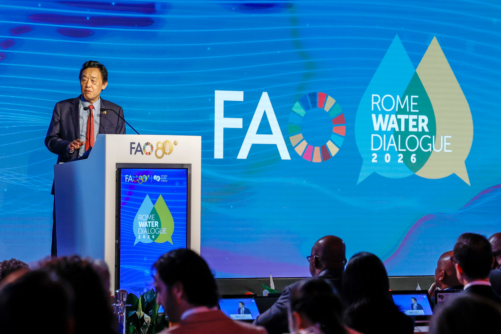
As of 2026-10-16 11:34 UTC, the Food and Agriculture Organization of the United Nations has launched IRMA, a digital platform for comparing irrigation opportunities. The October 13 announcement at the Rome Water Dialogue gives governments a shared framework for identifying promising locations.[1]
The launch comes alongside a wider debate about who gets access to water. In an October 15 report from the dialogue, FAO described calls for transparent water accounting, fair allocation and protection of the ecosystems that sustain supplies. For governments considering canals, pumps or irrigation upgrades, those questions determine whether a promising location can become a workable project.[6]
What has been launched
IRMA stands for the Mapping of Irrigation Potential and Needs Initiative. Hosted within FAO’s Agro-Informatics Platform, its public global layer identifies irrigated and rainfed cropland and assesses natural suitability for irrigation. Country-level work adds development needs and expected benefits, with national counterparts helping tailor the assessment.[1]
The distinction matters. A global suitability map can help identify places for closer examination. It cannot, by itself, establish which proposal deserves priority within a particular country.
Three records establish the announcement’s scope:
- October 13, 2026 — launch: FAO’s Land and Water Division reports the platform’s introduction at the Rome Water Dialogue. This confirms an institutional launch; it does not demonstrate subsequent results on farms.[1]
- July 24–25, 2025 — earlier development: an expert consultation in Rome presented the consolidated approach and pilot applications. FAO published that account on August 7, 2025.[2]
- October 15, 2026 — accompanying debate: FAO’s water-efficiency session description warns that improvements on individual farms do not necessarily reduce consumption across a river basin. This is the session’s stated framing, not a published evaluation of IRMA.[4]
The earlier consultation included pilot applications in Malawi, Sri Lanka, Kazakhstan, Montenegro, Oman and Chile. FAO also identified collaboration with Politecnico di Milano, UC Davis and UC Berkeley on geospatial data. That history puts the new announcement in perspective: the October launch follows prior methodological development and demonstrations.[2]
A suitable field is the beginning of the assessment
In their earlier account of IRMA, FAO specialists Maher Salman, Eva Pek and Camilla Simongini describe three tests. Natural suitability considers water availability, soils, terrain and climate risks. Development needs ask where irrigation could help food security, poverty reduction and resilience. Expected benefits assess the prospect of sustainable economic returns. Each pillar receives one of five ratings before the results are combined.[3]
The practical implication is that a location with favourable physical conditions can still require a difficult policy decision. A government may value reaching underserved farmers, supporting production in a vulnerable region or improving an existing scheme. Making those objectives explicit allows people to examine how a priority was reached.
The specialists also describe a baseline assembled from satellite data, local knowledge and artificial intelligence, and an approach intended to build national capacity to maintain the assessments. The presence of local knowledge is consequential: a planning tool needs institutions that can question and update its inputs.[3]
The launch material reports no measured income gains or water savings attributable to the new platform. Those outcomes remain to be established.[1]
The water that leaves one field may reach another
FAO’s October 15 session set out the central accounting problem: greater efficiency at farm level need not produce a reduction in basin-wide consumption. Its proposed discussion included basin water accounting, groundwater monitoring and satellite assessment of water productivity.[4]
A 2024 World Bank discussion paper explains why the measurement boundary matters. Assessing real water savings requires an overall balance that includes return flows and changes in storage. Water moving out of an irrigation system may remain available elsewhere in the basin; reducing that flow is therefore different from reducing water consumed. The paper argues that delivery efficiency and basin accounting serve different, complementary purposes.[5]
For example, a project could deliver water more reliably to crops while changing the amount available downstream. That possibility does not make modernization undesirable. It means the appraisal should identify the intended benefit and measure the relevant flows, rather than treating every improvement in delivery as an equal saving for the river system.[5]
Allocation adds another layer. FAO’s October 15 account stresses access for small-scale producers, women, Indigenous Peoples and vulnerable communities, alongside viable livelihoods and healthy ecosystems. Those objectives make participation in planning substantive: an investment can affect people beyond the farms directly connected to it.[6]
What would turn the launch into a result
The following are conditional assessments, not outcomes reported by FAO. The base case is that IRMA helps agencies shortlist locations, with further appraisal needed before investment. The upside would be national teams publishing locally checked assessments that demonstrably influence project choices. A documented change in a funded proposal would be a useful early signal. The downside would be rankings used as sufficient justification despite unresolved water availability or access concerns; evidence of those gaps would trigger reassessment.
For readers tracking implementation, the next checks are concrete:
- Next 24 hours: distinguish the public global assessment from country-specific work before interpreting a map as a national investment recommendation.
- Next seven days: look for national documentation explaining data dates, local participation and how competing development priorities were weighed.
- Next 30 days: look for a traceable connection between the assessment and an actual planning decision, including who will verify water use and access.
Any local ranking should be reconsidered if updated water information or unresolved allocation claims undermine its assumptions. The test ahead is whether the platform helps institutions make decisions they can explain, check and revise.
Sources
- FAO, “FAO launches IRMA, a new platform to support irrigation planning and development,” October 13, 2026 — launch, public global coverage and country-level assessments.
- FAO, “FAO Showcases Agro-Informatics Platform at Global Irrigation Consultation,” August 7, 2025 — July consultation, collaborating universities and six country pilots.
- Maher Salman, Eva Pek and Camilla Simongini, “IRMA: Mapping the Future of Irrigation in a Water-Scarce World,” FAO, author date February 26, 2026 — assessment pillars, ratings, data and national capacity.
- FAO, “Towards water-efficient agrifood systems that deliver food security for all,” October 15, 2026 — session description and agenda; farm efficiency versus basin consumption.
- Hervé Plusquellec, with assistance from Sanjiva Cooke, “A Retrospective of Lending for Irrigation: Reflections on 70 Years of Bank Experience,” World Bank, March 2024, Box 7.1, pp. 47–48 — return flows, storage and complementary performance measures.
- FAO, “World Food Forum 2026: FAO calls for smarter water governance to safeguard food security,” October 15, 2026 — allocation, water accounting and the photograph by Giulio Napolitano.