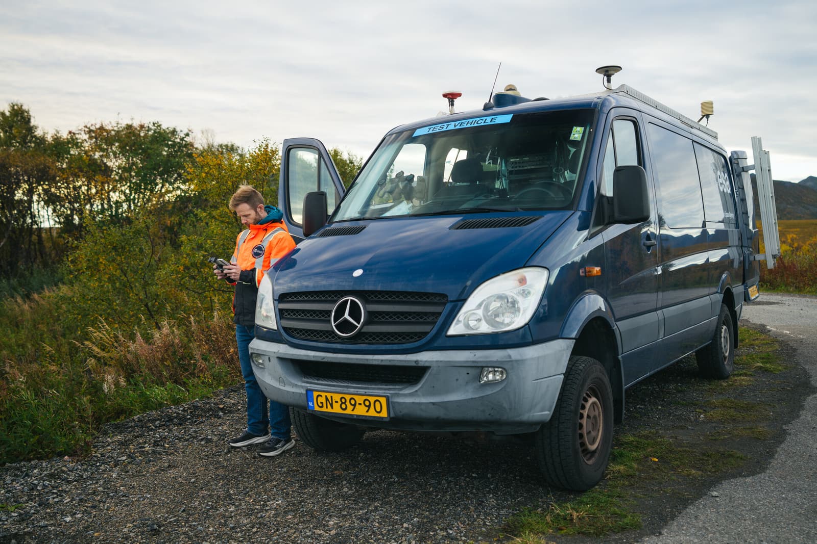
As of 2026-10-10 03:33 UTC, ESA’s October 2 report on Norway’s Jammertest puts a successful Galileo authentication trial alongside experiments still awaiting analysis. Engineers obtained a position using encrypted signals. The wider campaign exposes several meanings of “reliable”: receiving a signal, knowing whether to trust it, and recovering when something goes wrong.[1]
For a person watching a map, these distinctions can disappear behind one reassuring dot. For the people building mapping systems or timing services, each needs its own evidence.
What happened in Norway?
Three records establish the sequence and the limits of the announcements:
- September 16 — Galileo trial: five operational satellites transmitted an encrypted test signal during a two-hour window. ESA reported successful positioning in Norway and at its Netherlands laboratory the following day. This establishes a demonstration of the forthcoming Signal Authentication Service, or SAS.[2]
- September 22 — mapping report updated: Norway’s mapping authority, Kartverket, described flights over the same area before and during interference. Its account explains the experiment; it does not publish a final comparison of positioning errors.[4]
- October 2 — ESA campaign report: processing remained unfinished. Findings on reception from the low-orbit Celeste demonstrators were explicitly preliminary.[1]
These are complementary records. The Galileo trial asks whether a receiver can use authenticated signals. The mapping flights ask what interference does to a finished measurement. The distinction matters when interpreting a successful demonstration.
How can the dot be present and still be wrong?
ESA distinguishes three forms of interference. Jamming overwhelms reception, potentially leaving the receiver without a position. Spoofing supplies counterfeit signals that can produce a convincing but false fix. Meaconing captures and rebroadcasts genuine satellite signals, misleading the receiver about time or place.[1]
The visible symptoms therefore differ. An unavailable position announces a problem. An incorrect position can continue to look useful. A test that records only whether the device produced coordinates would miss that difference.
Galileo’s existing Open Service Navigation Message Authentication, known as OSNMA, addresses the trust problem by letting compatible receivers check that navigation data originated with Galileo and was not altered. EUSPA declared its initial service operational on July 24, 2025. Using it requires receiver support for the protocol, public cryptographic material and the associated verification logic.[3]
EUSPA also states the boundary plainly: OSNMA helps identify unauthenticated data, but does not stop interference from occurring or protect against jamming. Verification cannot make a drowned-out signal receivable.[3]
What does the new authentication test add?
A navigation receiver needs both the satellite’s navigation message and measurements of the signal’s travel time. SAS uses encrypted ranging signals, complementing the message checks provided by OSNMA. September’s trial demonstrated positioning with that new signal under field conditions.[2]
EUSPA’s description shows that the service involves more than a satellite transmission. A ground service will supply special code-sequence files over the internet, allowing users to obtain measurements from the encrypted signal without keeping confidential cryptographic material in their receivers. Its August update also promised implementation documents and receiver guidelines.[6]
That makes adoption an engineering task: the satellite capability, supporting service and receiver implementation must work together. A successful experiment does not automatically add the function to equipment already in use.
The September ESA announcement places SAS validation and accreditation in 2027, before an operational declaration. That is the published plan, not a guaranteed launch date. OSNMA already operates; the demonstrated SAS capability remains on a development path in the cited accounts.[2][3]
Why fly over the same ground twice?
Kartverket shows why this matters beyond the navigation screen. Aerial mapping needs accurate records of the aircraft’s location and each measurement’s time. A photograph can contain useful detail while the information needed to place it on a map has been compromised.[4]
At Andøya, it photographed an area under normal conditions on September 12–13, then collected data during interference on September 14–15. Ground points with known positions provided another check. The experiment also used laser scanning, which requires precise timing to match measurements to the aircraft’s position.[4]
This comparison tests whether the finished survey remains usable. The published account does not yet quantify errors for readers to apply to another system.[4]
What happens after the interference ends?
The organisers’ advance advisory describes an easily overlooked problem: recovery varies between devices. Some resume accepting a correct position after interference stops, sometimes with a delay. Others can remain stuck and require a restart or, in certain cases, a complete power reset.[5]
The same notice explains why this matters for maritime equipment: a radio’s distress message can include the vessel’s position, so its navigation input is part of a wider service.[5] Recovering the receiver and restoring confidence in what the service sends are connected operational questions.
The lesson for equipment buyers is to request evidence for the whole sequence: detection, behaviour while the signal is untrustworthy, and return to dependable operation. A result from one receiver under one test condition cannot settle all three for every installation.
What would change the assessment?
The following scenarios are editorial interpretations of the published record. The base case is continued development: its confirming signal would be technical results and receiver documentation that narrow the remaining work. The upside would be repeatable results across specified equipment and interference conditions, followed by the announced validation steps. The downside would be documented failures to reject false information or recover reliably, requiring revised equipment or procedures. None of these outcomes can be inferred from attendance at the exercise alone.
For mapping teams, infrastructure operators and procurement staff, the immediate follow-up is practical:
- Within 24 hours: identify which installed receivers actually support authentication and which applications consume their position or time. A model-specific finding should replace any fleet-wide assumption.
- Within seven days: request test conditions, error measurements and recovery behaviour from suppliers. A claim of “Jammertest participation” remains insufficient if those details are absent.
- Over 30 days: watch for processed campaign results and official service documentation. Revise the assessment if these show different performance limits, a changed validation timetable or an operational declaration.[1][2][6]
Sources
- European Space Agency, “Jammertest pumps up the jam in Norway,” October 2, 2026 — interference types, campaign results and remaining analysis.
- European Space Agency, “Galileo’s first civil authenticated position fix under spoofing conditions,” September 17, 2026 — September 16 trial, message and ranging authentication, and planned validation.
- EU Agency for the Space Programme, “Celebrating one year of Galileo OSNMA: a milestone for trusted positioning,” July 27, 2026 — operational status, receiver requirements and protection limits.
- Kartverket, “Jamming hindrer kartlegging av Norge” (Jamming hampers Norway’s mapping), September 8, updated September 22, 2026 — Norwegian-language account of paired mapping flights and ground checks.
- Jammertest organisers, “Warning about GNSS disturbances around Andøya in September,” August 28, 2026 — Norwegian-language advisory on differing recovery behaviour and maritime radio positioning.
- EU Agency for the Space Programme, “Galileo Signal Authentication Service underway,” August 6, 2026 — supporting ground infrastructure, code-sequence distribution and planned implementation documents.
- European Space Agency, “Navigation laboratory van in Norway,” September 28, 2026 — documentary photograph credited to ESA/jensenmedia.